山日記山日記Yama Nikki

English

Japan Hiking Guides

Localized route, booking, and safety notes for visitors planning hikes in Japan.

Frozen Trails in Late Autumn: Walking on Frost & Ice, and Choosing Between Chain Spikes, Light Crampons, and 10-Point Crampons
Hiking Safety

Frozen Trails in Late Autumn: Walking on Frost & Ice, and Choosing Between Chain Spikes, Light Crampons, and 10-Point Crampons

Even when autumn foliage is still bright in late October and November, clear mornings bring frost and thin ice to high-elevation and shaded trails in Japan. Using Japan Meteorological Agency data, prefectural police autumn mountain advisories, and Montbell's official chain-spike manual, this guide explains where ice forms, how to walk on frozen ground, and when to turn back.

Mt. Ryōkami Hiking Guide: Trail Status, Bear Sightings and Chain Sections (October 2026)
Mountain Guide

Mt. Ryōkami Hiking Guide: Trail Status, Bear Sightings and Chain Sections (October 2026)

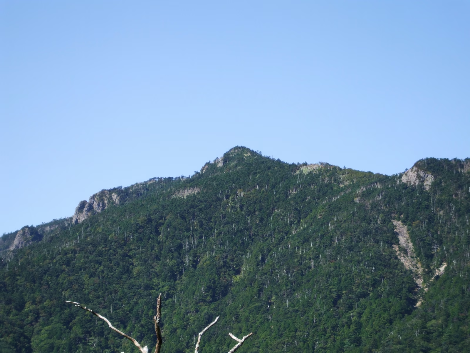
Official October 2026 information for Mt. Ryōkami (1,723 m) in Saitama, one of Japan's 100 Famous Mountains. The Hinata-Ōya trail is open and its toilet is back in use, but a bear was reported near Kaisho on September 23 and there have been several falls on the chain sections. The Hatchō Pass route reopened on September 10; the Nanataki-sawa route and the Hatchō Tunnel trailhead remain closed.

Kurama to Kibune Hike in Kyoto: Eizan Railway, the ¥500 Kurama-dera Fee, the Tree-Root Path, Bears and Kifune Shrine's Autumn Light-Up (2026)
Japan Hiking

Kurama to Kibune Hike in Kyoto: Eizan Railway, the ¥500 Kurama-dera Fee, the Tree-Root Path, Bears and Kifune Shrine's Autumn Light-Up (2026)

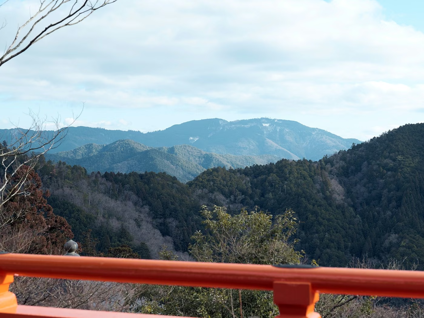
An English guide to the Kurama–Kibune hike in north Kyoto, the short mountain walk over Mount Kurama (鞍馬山) from Kurama-dera Temple to Kifune Shrine. Covers getting to Kurama on the Eizan Railway from Demachiyanagi and the fares, the ¥500 Aizan-hi entry fee and the optional ¥200 cable car, why the official course runs from Kurama to Kibune, the Kinone-michi tree-root path and the West Gate, the bus or road walk back to Kibuneguchi, Kifune Shrine's autumn light-up from November 7 to 24, 2026, late-autumn daylight, and what Kyoto City and Kyoto Prefecture say about bears this autumn.

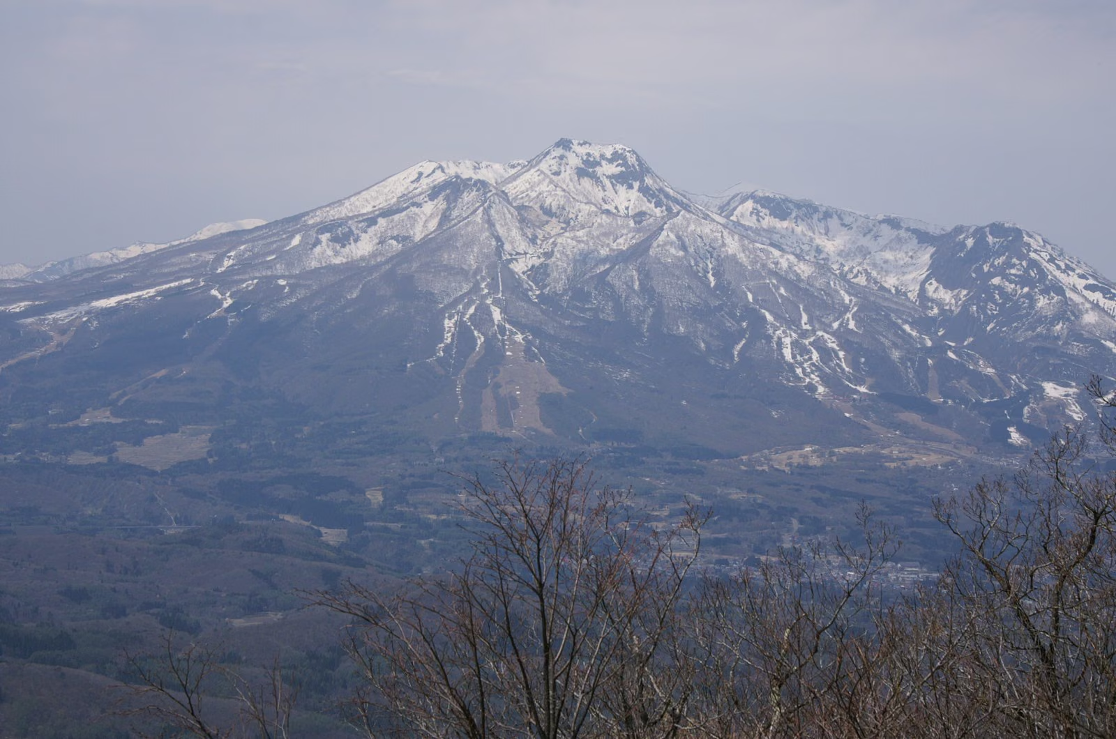
Mt. Iwaki Hiking Guide: Tsugaru Iwaki Skyline & Chairlift from the 8th Station, Dake and Hyakuzawa Trails, and Autumn Closures
Mountain Guides

Mt. Iwaki Hiking Guide: Tsugaru Iwaki Skyline & Chairlift from the 8th Station, Dake and Hyakuzawa Trails, and Autumn Closures

Complete hiking guide to Mt. Iwaki (1,625 m), Aomori Prefecture's highest peak and one of Japan's 100 Famous Mountains. Covers the Tsugaru Iwaki Skyline toll road and chairlift route (40 minutes from the 9th Station), full climbs via the Dake Onsen and Hyakuzawa trails, the 13:00 departure cutoff, 2026 autumn closure dates, and Yayoi Trail bear closures.

Mount Yufu (Yufudake) from Yufuin: The Bus to the Main Trailhead, East Peak or West Peak, November Daylight, and an Onsen Finish in Oita
Mountain Guide

Mount Yufu (Yufudake) from Yufuin: The Bus to the Main Trailhead, East Peak or West Peak, November Daylight, and an Onsen Finish in Oita

An English guide to hiking Mount Yufu (由布岳, 1,583 m), the twin-peaked volcano behind the hot-spring town of Yufuin in Oita, Kyushu. Covers the Kamenoi Bus from Yufuin or Beppu to the Yufu Tozanguchi stop and the new fares from October 17, 2026, parking and the only toilets, the standard route via Goyagoe and Matae, why most hikers should choose the East Peak over the chained West Peak, the easy Iimorigajo option, volcano status, November daylight and clothing, climbing plans with Oita Prefectural Police, and Yufuin's hot-spring bathing tax.

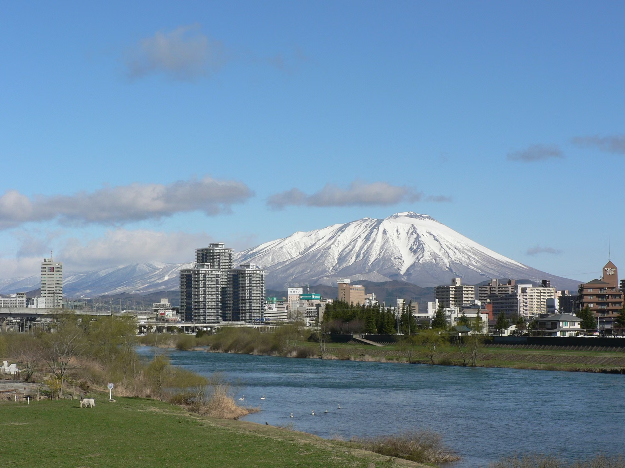
Mt. Iwate Hiking Guide (2026): Comparing Eastern Trailheads (Umagaeshi & Yakehashiri) & Ongoing Western Trail Closures Under Volcanic Alert Level 1
山の解説

Mt. Iwate Hiking Guide (2026): Comparing Eastern Trailheads (Umagaeshi & Yakehashiri) & Ongoing Western Trail Closures Under Volcanic Alert Level 1
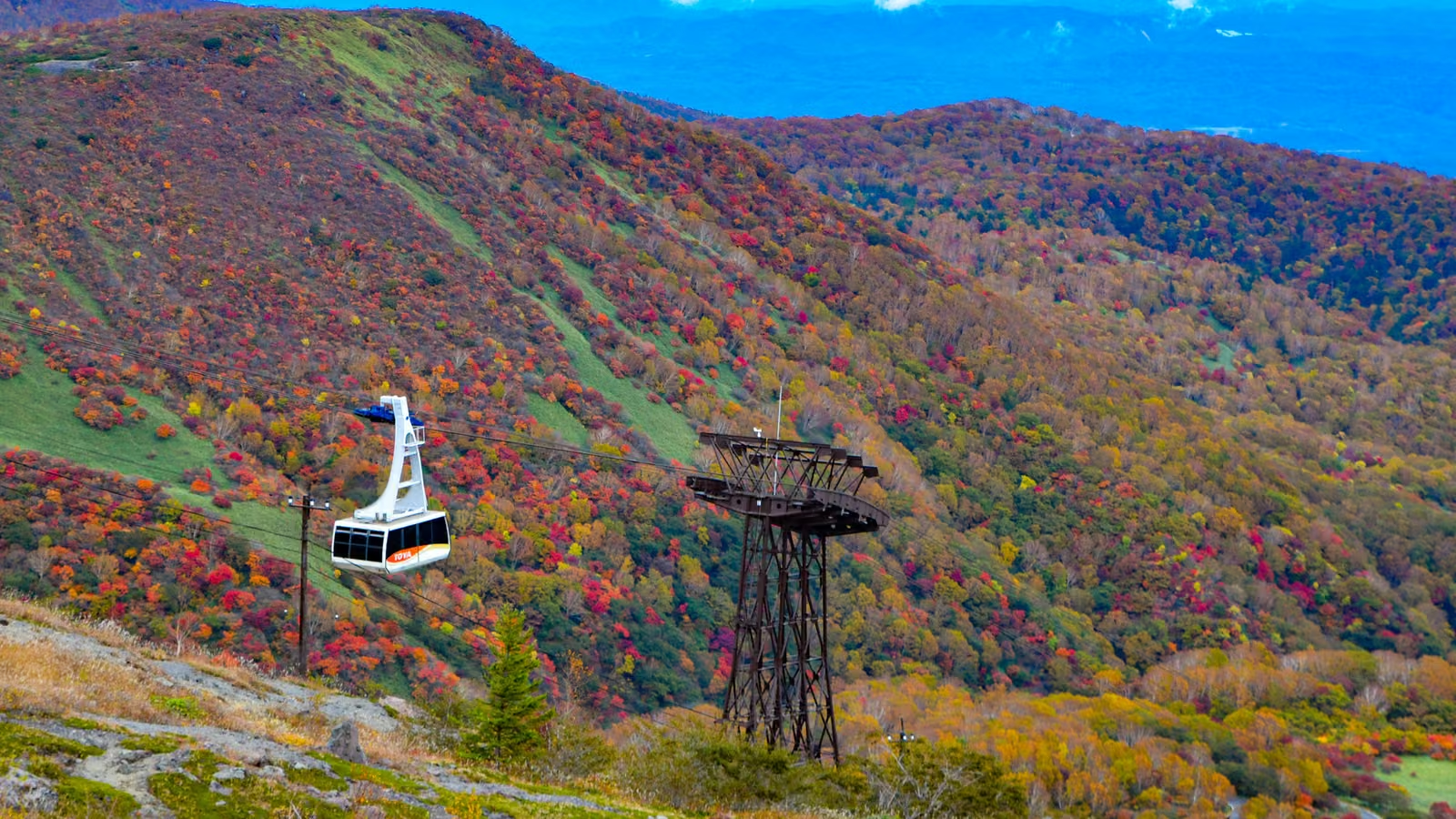
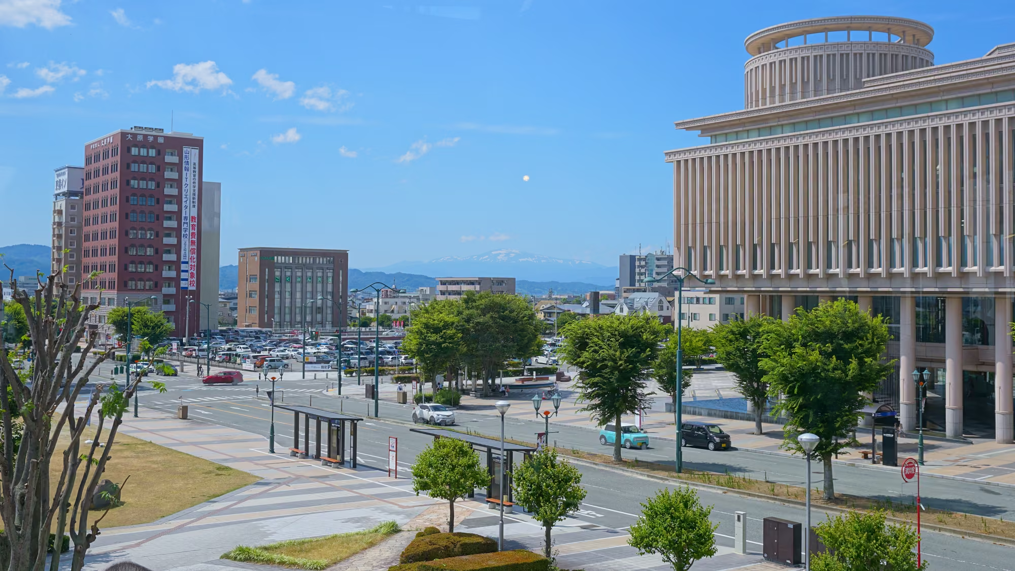
Complete 2026 hiking guide to Mt. Iwate (2,038 m), Iwate Prefecture's highest peak and one of the 100 Famous Japanese Mountains: comparing the four open eastern routes (Umagaeshi, Yakehashiri, Uwabou, and Onomisaka), ongoing western trail closures even after the August 2026 downgrade to Volcanic Alert Level 1, 8th Station refuge hut dates, and Amihari lift operations.

Mount Rokko to Arima Onsen: Hiking Over Kobe's Mountain from the Rock Garden to a Hot-Spring Bath, with Ropeway Options and November Tips
Mountain Guide

Mount Rokko to Arima Onsen: Hiking Over Kobe's Mountain from the Rock Garden to a Hot-Spring Bath, with Ropeway Options and November Tips

An English guide to crossing Mount Rokko (六甲山, 931 m) between Osaka and Kobe and finishing in the hot-spring town of Arima Onsen. Covers the classic route from Hankyu Ashiyagawa Station through Takaza Falls, the Ashiya Rock Garden and Kazafuki-iwa to the highest peak, the Totoyamichi trail down to Arima, the Rokko Cable Car and Rokko-Arima Ropeway if you would rather ride, Kin no Yu and Gin no Yu fees and closing days, November sunsets and autumn leaves, wild boars, and how to get back to Kobe.

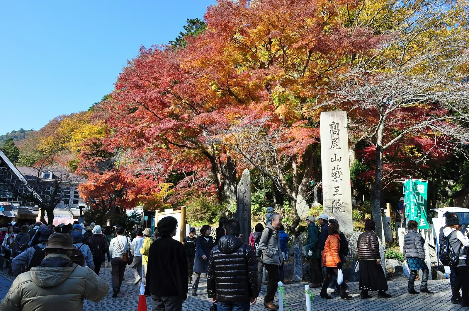
Mount Oyama Day Trip from Tokyo: Cable Car, Afuri Shrine, the Summit Loop, Freepass Math, and Late-Autumn Tips
Japan Hiking

Mount Oyama Day Trip from Tokyo: Cable Car, Afuri Shrine, the Summit Loop, Freepass Math, and Late-Autumn Tips

A practical English guide to Mount Oyama (大山, 1,252 m) in Isehara, Kanagawa, organized by how much you want to climb. Covers the Odakyu Line from Shinjuku, the Kanachu bus to Oyama Cable, Oyama Cable Car fares and hours, Afuri Shrine Shimosha and Oyama-dera Temple, the classic summit loop with its chain sections, the quieter start from Yabitsu Pass, whether the Tanzawa-Oyama Freepass pays off, bears, autumn leaves, and an onsen stop at Tsurumaki.

Tateyama Kurobe Alpine Route in Late Autumn 2026: Which Side to Start, the November Timetable, Tickets, and Murodo Snow Before the November 30 Close
Japan Hiking

Tateyama Kurobe Alpine Route in Late Autumn 2026: Which Side to Start, the November Timetable, Tickets, and Murodo Snow Before the November 30 Close

A late-autumn planning guide to the Tateyama Kurobe Alpine Route (立山黒部アルペンルート) before the 2026 season ends on November 30. Choose between a Toyama-side day, a Nagano-side day, or the full traverse; see how the November 4 winter timetable and the November 11 non-stop Highland Bus change your options; and check fares, web tickets, the Alpine-Takayama-Matsumoto Area Tourist Pass cut-off, Murodo snow and clothing, and Kurobe Dam.

Hiking Safely During Japan's Hunting Season: Open Dates, High-Visibility Clothing, Foot Snares, and Wildlife Protection Areas
Hiking Tips

Hiking Safely During Japan's Hunting Season: Open Dates, High-Visibility Clothing, Foot Snares, and Wildlife Protection Areas

In late autumn and winter, Japanese mountains enter the official hunting season (generally November 15 to February 15 outside Hokkaido, with regional extensions for deer and wild boar). Learn official Ministry of the Environment and prefectural rules on high-visibility clothing, avoiding white towels, foot-snare warning signs, and Wildlife Protection Areas.

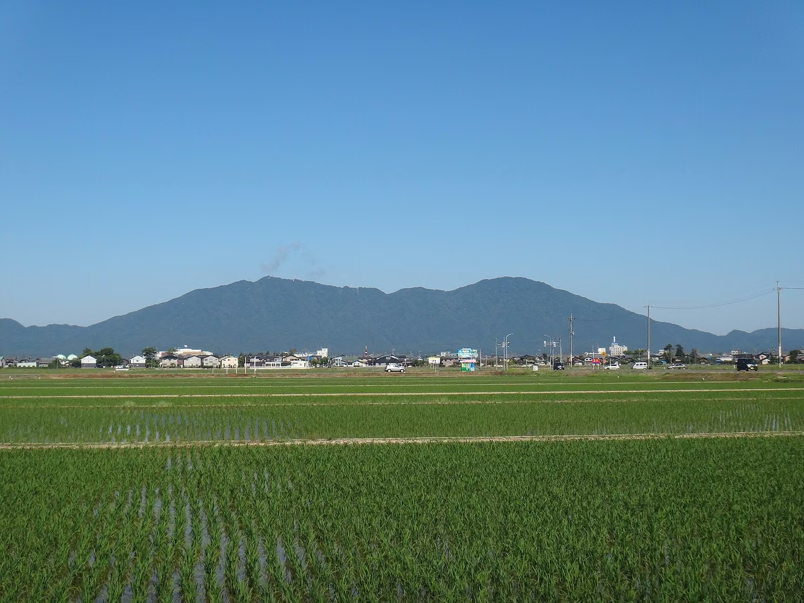
Mount Tsukuba Day Trip from Tokyo: Nantaisan or Nyotaisan, Ropeway, Shuttle Bus, and the 2026 Cable Car Suspension
Japan Hiking

Mount Tsukuba Day Trip from Tokyo: Nantaisan or Nyotaisan, Ropeway, Shuttle Bus, and the 2026 Cable Car Suspension

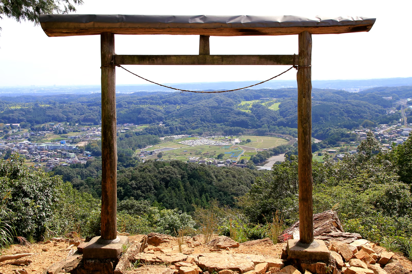
A practical English guide to Mount Tsukuba (筑波山, 877 m) in Ibaraki, written around the twin-peak choice between Nantaisan and Nyotaisan. Covers the Tsukuba Express from Akihabara, the Tsukubasan shuttle bus to the shrine or Tsutsujigaoka, ropeway fares and hours, the summit connector, official hiking courses, and the cable car suspension in effect since September 25, 2026.

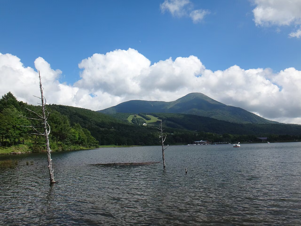
Mt. Bandai Hiking Guide: Choosing from Six Trailheads, the Summer Lift, Parking, and Volcano Status in 2026
Mountain Guide

Mt. Bandai Hiking Guide: Choosing from Six Trailheads, the Summer Lift, Parking, and Volcano Status in 2026

How to choose a trailhead for Mt. Bandai (1,816 m) in Fukushima. Compares the six trailheads by standard time, parking and public transport, explains the Happodai and Inawashiro routes, the 2026 summer lift, portable toilets, the volcano alert level, and the winter closure of the Bandai Gold Line, based on Fukushima Prefecture, local tourism offices and the Japan Meteorological Agency.

Mt. Daibosatsu Day Hike from Tokyo: Bus from Kai-Yamato, Parking, the Kamihikawa Pass Loop, and 2026 Winter Closures
Mountain Guide

Mt. Daibosatsu Day Hike from Tokyo: Bus from Kai-Yamato, Parking, the Kamihikawa Pass Loop, and 2026 Winter Closures

How to hike Mt. Daibosatsu (Daibosatsurei, 2,057 m) in Yamanashi as a day trip from Tokyo. Covers the 2026 weekend bus from Kai-Yamato Station with times and fare, parking at Kamihikawa Pass and the 300-space Lot 4, the classic loop past Kaminari-iwa and Daibosatsu Pass, mountain huts, winter road closures, and climbing plans, based on Koshu City, the bus operator and the huts.

Mt. Shirouma (Mt. Hakuba) Hiking Guide (2026): Tsugaike, Sarukura (Daisekkei & Yari Onsen) & Renge Onsen Routes, Huts, and Sarukura Parking Closure
山の解説

Mt. Shirouma (Mt. Hakuba) Hiking Guide (2026): Tsugaike, Sarukura (Daisekkei & Yari Onsen) & Renge Onsen Routes, Huts, and Sarukura Parking Closure

Complete 2026 guide to climbing Mt. Shirouma (Mt. Hakuba, 2,932 m), the highest peak of the Ushiro-Tateyama Range in the Northern Japan Alps. Covers official Nagano/10-prefecture route grading, the year-round closure of Sarukura Municipal Parking Lot, Hakuba Daisekkei snow gorge hazards, Renge Onsen and Keyakidaira access, and 2026 mountain hut dates and fares.