

Photo by Dreamy Pixel via Wikimedia Commons (CC BY 4.0)
Late-Autumn Fallen Leaves on Mountain Trails: How to Prevent Getting Lost & Slipping on Hidden Rocks and Roots
Why deep carpets of fallen leaves in late October and November increase both route-finding errors and slip-and-fall accidents on Japanese mountain trails—with practical footwork, map-and-GPS check habits, and turnaround rules based on National Police Agency and Nagano Police data.
Fallen Leaves Create Two Hazards at Once: Slippery Footing and Vanishing Trails
From late October through November in Japan's deciduous mountain forests, thick carpets of fallen leaves cover the trail—simultaneously making every step more slippery and erasing the visual boundary of the footpath itself. What looks like a postcard-perfect golden forest floor is also the season when the risk of getting lost (道迷い) and slipping or tripping (転倒・滑落) rises at the same time.
Keep these four core countermeasures in mind whenever you hike in late autumn:
- Assume hazards are hidden underneath the leaves: Loose stones, tree roots, drop-offs, mud, and thin morning ice are all concealed out of sight.
- Shorten your stride and probe ahead with trekking poles: Especially on descents, place your entire sole flat rather than striking hard with your heel.
- Verify your position at every junction, ridge, and rest stop: Cross-check both a paper topographic map + compass and a GPS hiking app.
- If the trail feels off, turn back to your last confirmed point instead of scouting ahead: With autumn darkness arriving before 17:00 inside the forest canopy, early turnaround decisions are critical.
Why Late Autumn Drives Up Both Route-Finding and Fall Accidents
1. Getting Lost (30.9%) and Tripping/Slipping (19.2%) Are Japan's Top Mountain Incident Causes
According to the National Police Agency's Summary of Mountain Distress Incidents in 2025 (Reiwa 7), Japan recorded 3,122 mountain incidents involving 3,623 people. By incident type:
- Getting lost (
道迷い): 30.9% (the #1 cause nationwide) - Tripping / slipping on level or moderate terrain (
転倒): 19.2% (#2) - Slips and falls down steep slopes (
滑落): 17.3% (#3)
Leaf-fall season directly amplifies the top two causes at once: boot tracks disappear under uniform layers of beech and oak leaves while concealed roots and unstable stones catch hikers off balance.
2. Early Autumn Sunset + Slower Pace in the Trees
In the Nagano Prefectural Police 2026 (Reiwa 8) Autumn Mountain Advisory, among 83 autumn mountain incidents recorded between September and November 2025, falls from slopes (22 cases) and tripping/slipping (21 cases) led all categories—frequently triggered by stepping on loose rocks (浮き石), catching a toe on tree roots, or slipping on wet rock slabs. The advisory also warns that forest interiors grow dark much earlier than open ridges, turning a minor delay on leaf-covered trails into an unplanned benighting.
3. Warnings on Leaf-Covered Deciduous Trails (Such as the Shin-etsu Trail)
Along the beech-forested ridges of the Shin-etsu Trail (信越トレイル) on the Nagano–Niigata border, trail authorities regularly warn autumn hikers about a surge in ankle sprains, slips, and falls once the beech canopy drops its leaves:
- Deep leaf litter completely hides rocks, exposed tree roots, fallen branches, and ruts.
- Morning dew or sub-freezing night temperatures leave wet or frosted roots and stones hidden beneath dry-looking surface leaves.
- Because daylight is short and darkness falls by 17:00, hikers must carry a headlamp and build extra time margin into every itinerary.

4 Things Fallen Leaves Conceal on the Trail
1. The Tread of the Trail (Soil Contrast and Boot Tracks)
In summer, bare dirt and boot tread clearly separate the main trail from the surrounding forest floor. Once leaves blanket the ground in a single uniform color, animal tracks (獣道), forestry paths (作業道), and shallow gullies look identical to the real trail—especially on broad, gently sloping ridges.
2. Low Trail Stakes, Rope Borders, and Fallen Guide Markers
While tall wooden signposts remain visible, low boundary stakes, stone cairns, and exposed trail edges vanish under drifted leaves. If you realize you have not seen a ribbon marker or signpost for longer than expected, stop immediately and check your map rather than continuing downhill.
3. Loose Stones (浮石), Tree Roots, and Uneven Steps
A depression filled to the brim with dry leaves looks flat from above. Stepping into it at full stride can roll your ankle on an angled root or shift a loose cobble underneath your boot.
4. Frost, Thin Ice, and Mud Beneath the Leaves
After a clear, cold night of radiative cooling, frost needles (霜柱) and thin glaze ice form on mud and rock slabs. When wind blows dry leaves over that ice, you cannot see the slick patch before your foot lands on it.

How to Walk Without Slipping on Leaf-Covered Trails
1. Shorten Your Stride and Place Your Entire Sole Flat
Long strides increase the forward shearing force at heel strike, making your boot skate out from under you on slick leaves:
- Take shorter steps than you do in summer.
- Set your whole outsole down gently with your center of gravity stacked directly over your foot.
- Step on visible patches of bare soil or stable, flat-topped rocks/roots where you can see what your boot is touching, while avoiding rounded or wet roots.
2. Slow Down on Descents and Keep Your Knees Soft
Most leaf-related slips and ankle twists happen on the descent when leg fatigue sets in and body weight shifts forward. Keep your knees slightly flexed, lower your hips on steep steps, and take short breathers in the second half of your descent to reset your concentration.
3. Use Trekking Poles as Both "Probes" and Balance Aids
In late autumn, trekking poles serve not only for balance and knee relief, but also as probes (探針) to feel whether solid ground, a deep hole, or a loose rock lies beneath a pile of leaves before you commit your weight. Do not lean your full body weight onto a pole tip planted on wet leaves, as the tip itself can skate across buried rock.

Preventing Route-Finding Errors: Map & GPS Check Habits
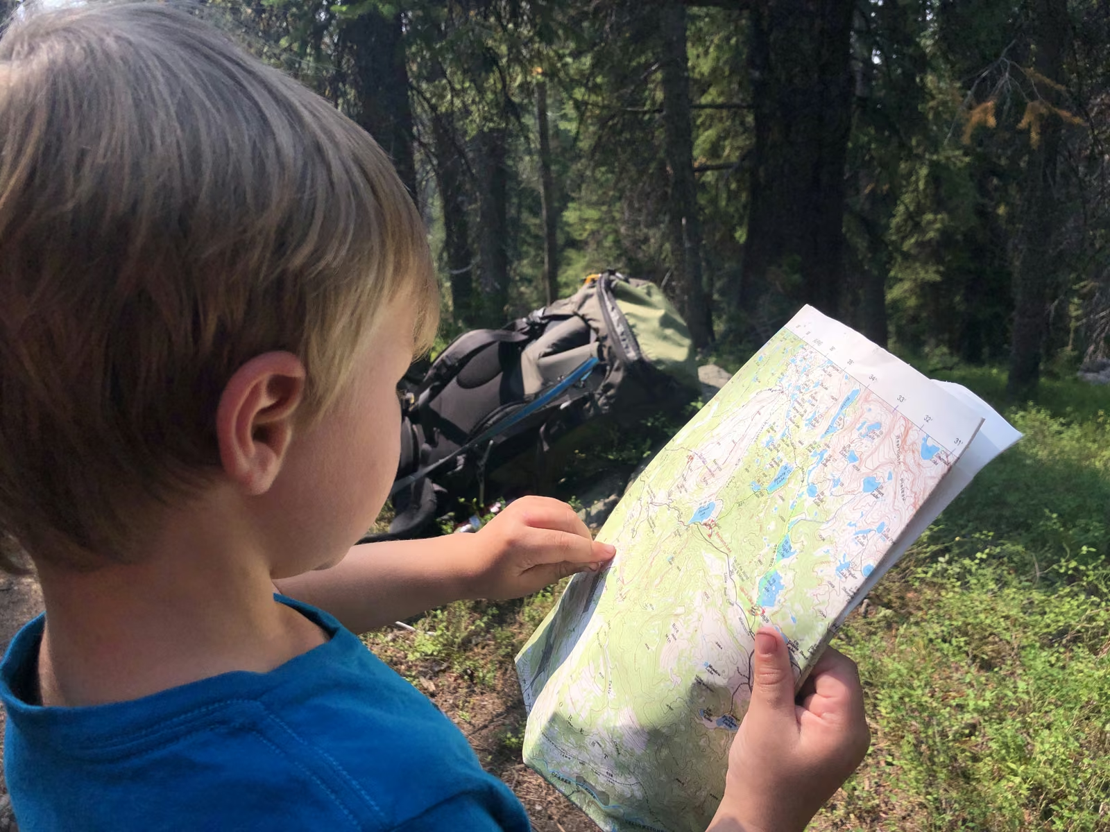
Combine a Paper Map + Compass with a GPS App
The National Police Agency emphasizes carrying both a topographic map (including a GPS hiking map app) and a compass alongside a backup battery:
| Tool | Strengths | Limitations to Watch |
|---|---|---|
| Paper Topographic Map + Compass | Shows the big-picture layout of ridges, valleys, and contour lines; never runs out of battery | Requires orienting the map to north and reading terrain features before you get lost |
| GPS Hiking App (e.g., Yamareco) | Pinpoints your current coordinates, records your breadcrumb track, and alerts you to off-route drift | Cold weather drains smartphone batteries rapidly; GPS pins can drift 10–30 m in deep valleys |
5 Moments When You Should Always Stop and Check Your Position
- Before stepping off from the trailhead: Confirm today's route, escape routes, and turnaround time on both paper and app.
- At every junction: Even if a signpost is present, take 30 seconds to verify that the ridge or valley direction matches your map.
- At ridge crests, saddles, and minor peaks: Distinct terrain transitions are the easiest places to confirm your progress.
- At every rest break: Compare your current location against your planned time schedule.
- The instant something feels off: If the slope angle, ridge direction, underfoot feel, or absence of pink ribbons feels unusual, stop walking immediately.
When You Lose the Trail: The Turnaround Decision Flow
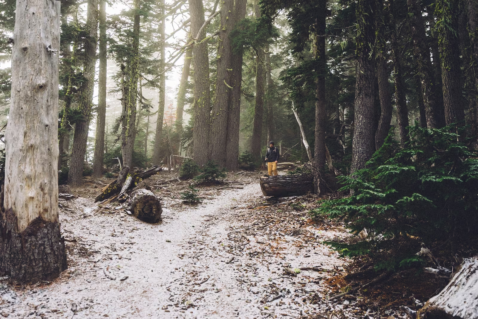
The worst mistake on a leaf-covered trail is wandering forward down a faint animal track hoping it will reconnect with the main trail, or descending into a steep stream gully (沢). Follow this five-step rule instead:
- Stop immediately: Do not think while walking. Take a sip of water and calm down.
- Recall your last 100% confirmed point (a signpost, junction, or distinct landmark): If it is only a few minutes behind you, climb or walk straight back to that confirmed point along your exact GPS track.
- Cross-check terrain and GPS on the spot: Do the surrounding ridge direction, valley drop-off, and contour spacing match your map?
- If they do not match, retrace your steps uphill: Never bushwhack downhill toward a stream sound.
- If your pace has slipped behind schedule or sunset is approaching, shorten the hike and descend early: Turning back before the summit on a slow late-autumn trail is smart seamanship, not failure.
Essential Late-Autumn Gear Checklist for Leaf-Covered Trails
- Paper topographic map & compass (kept in a waterproof case within easy reach)
- Smartphone with offline GPS maps downloaded (Yamareco) + mobile power bank (cold drains lithium-ion batteries fast)
- Trekking poles (for probing hidden steps and stabilizing descents)
- Headlamp + spare battery (mandatory even on short day hikes)
- Warm mid-layer, rain shell, and warm gloves (preventing autumn mountain hypothermia)
- Emergency shelter (
ツェルト/ bivy sack) & extra trail food - Bear bell to alert wildlife while bears actively forage for beech nuts and acorns before hibernation
References
- National Police Agency — Summary of Mountain Distress Incidents in Reiwa 7 (2025) (PDF)
- Nagano Prefectural Police — Reiwa 8 (2026) Autumn Mountain Safety Advisory (PDF)
- Nagano Prefectural Police — Mountain Safety Information Portal (
山岳情報) - Shin-etsu Trail Club — Official Trekking Rules & Seasonal Safety (
信越トレイルトレッキングルール)