
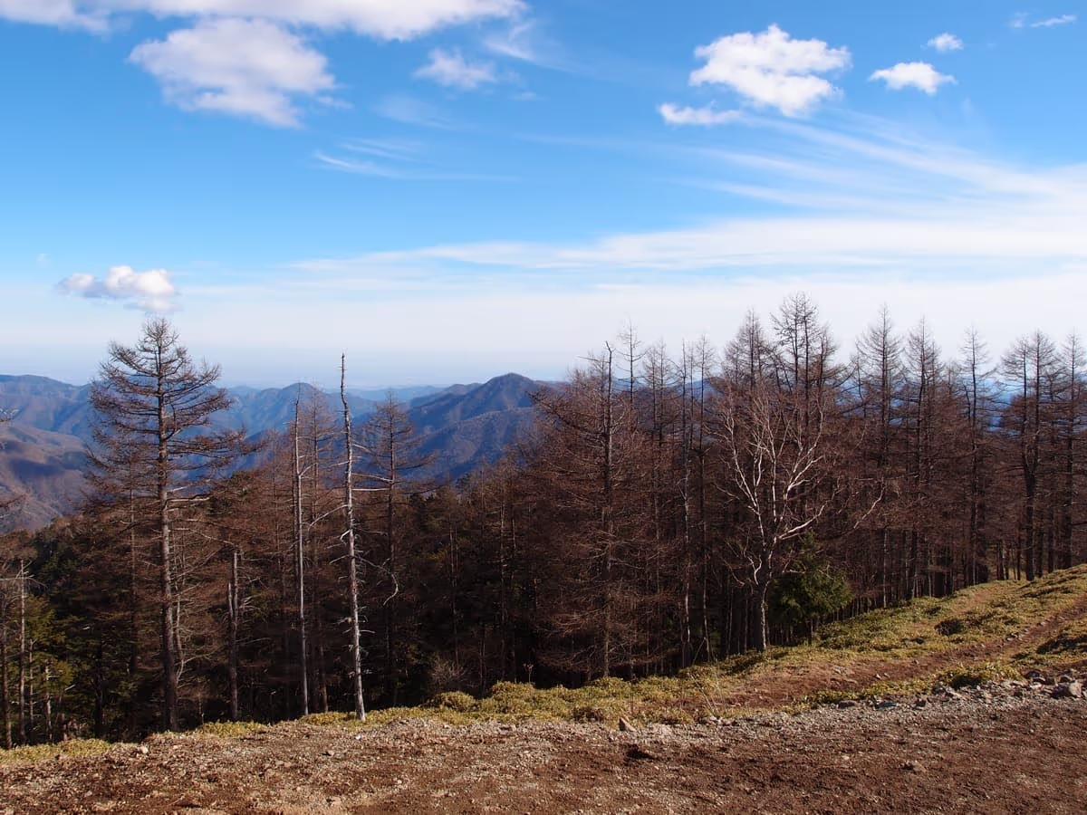
Photo: Guilhem Vellut, Wikimedia Commons (CC BY 2.0)

Mt. Kumotori Hiking Guide (2026): Tokyo's Highest Peak via the Kamosawa Route, with Bus Times and Huts
Mt. Kumotori (2,017 m) is the highest mountain in Tokyo. The Okutama Tourism Association's figures for the Kamosawa route (about 10.7 km and 6 h 20 min one way), planning around Nishi Tokyo Bus times, Kumotori Sansō and Nanatsuishi Hut, hiking registration, and bear information.
Based on the Okutama Tourism Association, the Nishi Tokyo Bus timetable published by Tabayama Village, Kumotori Sansō, and Nanatsuishi Hut, checked October 24, 2026. Bus times, hut operations, and trail closures change, so check the latest information before you go.
About Mt. Kumotori
Mt. Kumotori (2,017 m) stands where Tokyo, Saitama, and Yamanashi meet, and it is the highest mountain in Tokyo. It is one of Japan's 100 Famous Mountains. The Okutama Tourism Association says the summit gives a nearly 360° view, including Mt. Fuji, the Southern Alps, and central Tokyo.


Official figures for the Kamosawa route
From the Okutama Tourism Association's "Mt. Kumotori course" (climbing from Kamosawa):
| Item | Details |
|---|---|
| Distance | About 10.7 km (one way) |
| Walking time | 6 h 20 min (one way) |
| Bus to the trailhead | From JR Okutama Station bus stop 2, take a bus bound for Tabayama / Kamosawa-nishi and get off at "Kamosawa"; about 34 min |
| Trailhead parking | Free, about 40 small cars |
| Toilets | Kosode Nokkoshi, Nanatsuishi Hut, the Gojūnindaira campsite, and near the summit |
Because the one-way time exceeds 5 hours, the association recommends staying a night at a hut or in a tent. It also says the rule in Okutama is to start early and finish early, and asks hikers to reach the trailhead by 9:00. We could not confirm an official time for the descent.
Planning a day trip by the bus times
From the timetable (revised October 1, 2024), the earliest bus from Okutama Station to Kamosawa is 5:34 on weekdays (arriving 6:08) and 6:35 on weekends and holidays (arriving 7:09). Adding the 6 h 20 min walking time, even the first weekday bus puts you on the summit around 12:28, and later with breaks.
The last two buses back from Kamosawa to Okutama Station leave at 16:28 and 18:40 on weekdays, and at 16:08 and 18:04 on weekends and holidays. Note that the last bus is earlier on weekends. Add your summit time and the descent, and plan back from the last bus. Timetables can be revised, so check the latest Nishi Tokyo Bus times.
Whether a day trip is realistic depends on your fitness and the length of the day. In late autumn the days are short. The Okutama Tourism Association recommends an overnight stay.
Huts and campsite
| Facility | What we could confirm officially |
|---|---|
| Kumotori Sansō | Individual reservations open from the same date three months before your stay; contact the hut for details |
| Nanatsuishi Hut | A small self-catering hut (no meals) at 1,597 m on the Kamosawa route. Up to 10 guests a day; reservations required by 15:00 the day before, no same-day bookings. Tent pitches 2,000 yen per person per night, up to 20 people, also by 15:00 the day before |
| Gojūnindaira campsite | On the route; see the Okutama Tourism Association's lodging links |
Prices can change, so check each facility's official site. Kumotori Sansō asks hikers not to use the traverse path from Sanjō-darumi to the hut because the trail is in poor condition; go via the summit instead. It also reports a small collapse between Sanjō-no-yu and Sanjō-darumi. At Nanatsuishi Hut, water is provided from the sink in summer, and in winter there is a spring about 3 minutes' walk above the hut.


Registration, bears, and trail updates
- Hiking registration: The Okutama Tourism Association asks everyone to submit a hiking plan. Boxes are at JR Ōme Line stations, police boxes, and some public facilities, not at the trailheads.
- Bears: The Tokyo Metropolitan Government's Bureau of Environment publishes Asian black bear sightings in Tokyo. Check before you go and use a bear bell to let animals know you are there. See our bear safety guide.
- Trail conditions: The Okutama Visitor Center publishes a list of trail and road conditions. Closures happen, so check before you leave.
What to wear and bring
The Okutama Tourism Association says you must bring basic gear such as a headlamp, a trail map, and rainwear.
- Hiking boots and separate rain jacket and pants
- Headlamp (essential on such a long route)
- Warm layers
- A map app with offline maps, and a power bank
- Enough water and snacks; do not count on water sources, and check with the huts in advance
- Traction devices when snow or ice is expected
Summary
- The official figures for the Kamosawa route are about 10.7 km and 6 h 20 min one way, and the tourism association recommends an overnight stay.
- For a day trip, plan from the first and last buses. The last bus is earlier on weekends and holidays.
- Kumotori Sansō and Nanatsuishi Hut both need reservations.
- Submit a hiking plan and check bear sightings and trail conditions before you go.
See also: Japan's 100 Famous Mountains list, Hyakumeizan day trips from Tokyo, and Mt. Mitake day trip.